History, geology and nature are closely linked to the Pale di San Martino plateau. Discover all the places, historical anecdotes and geological peculiarities hidden around every corner, under every stone and behind every peak of this unique environment. Do not miss the opportunity during your Palaronda tour to be fascinated by these places!
During the last Ice Age, the Alps were almost entirely covered by the ice cap, leaving only the highest peaks protruding. The erosion caused by the slow movement of the glacial masses gave rise to valleys with the typical U-shape, such as the nearby valleys of Fiemme and Fassa and the Adige Valley. At the end of the Ice Age, 12,000 years ago, the melting of these immense glaciers began, and what remains to this day are the glaciers at high altitudes. We are still used to stating that the two most important glaciers in the Dolomites are those of the Marmolada and the Fradusta, on the Pale di San Martino Plateau. In recent years, only a few meters of ice remained of the latter, until 2022, when it was declared definitively disappeared, due to the acceleration of climate change and the very hot summers of recent years.
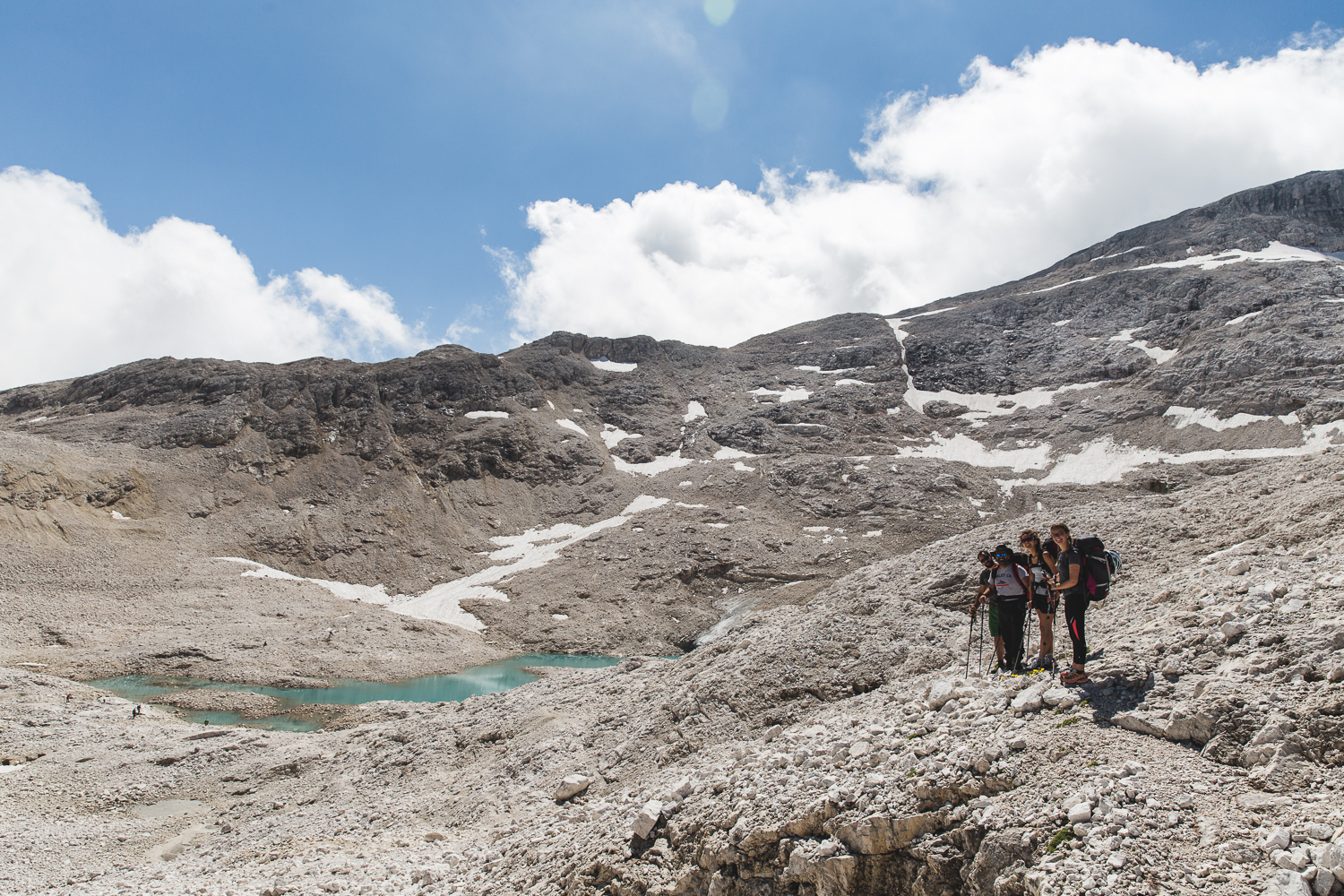
The stretch of trail 751 (High Route No. 2) that you will walk on after crossing the scenic Forcella Venegia, besides winding through a ridge among the reddish rocks of the Werfen Formation, offers the possibility of observing the outcrops of limestones and dolomites of the Contrin Formation that form the summit part of Cima Venegia and Venegiota. These rocks date back to the Middle-Upper Anisian period when the sea began to cover the Dolomitic region for the second time. This marks the initial phase of the formation of that tropical-type sea in which, during the subsequent geological period (Ladinian), coral reefs will form, eventually shaping the walls of the Pale di San Martino and the Dolomites.

Simultaneously with the formation of coral reefs that will constitute the massive dolomitic walls of the Pale di San Martino, during the Ladinian Period, there was intense submarine volcanic activity. At great depths, a huge mass of fluid magma was accumulating, which, due to increasing underground pressure, at a certain point began to push to exit.n groups. The pressure forced the magma to inject into cracks in the carbonate rocks of the overlying coral reefs, forming veins of dark lava: many of these are recognizable on the Mulaz and Focobon. Besides their dark color, these veins are distinguished by their greater susceptibility to erosion.
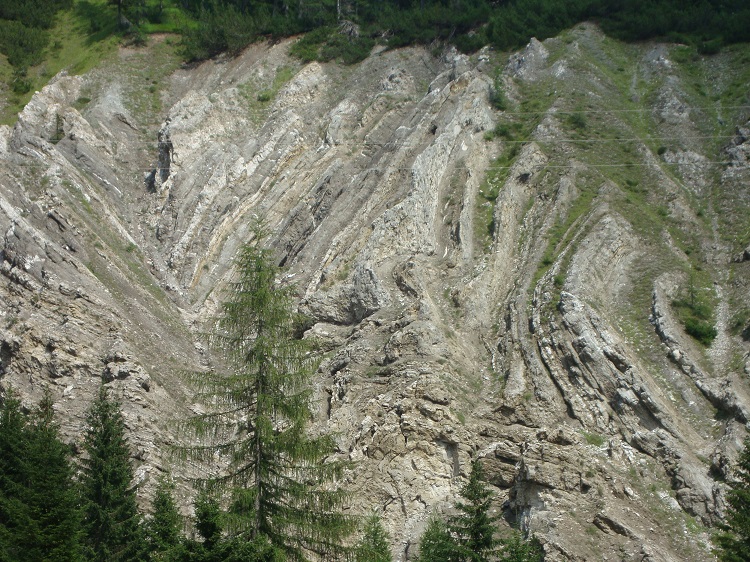
One of the most significant examples of how compressive forces caused by the collision between the Eurasian and African plates (Alpine orogeny) act on densely stratified rocks is evidenced by the twisted folds of the Bellerophon Formation. The rocks of this formation originate towards the end of the Permian, when the Dolomitic area gradually begins to sink, and the sea begins to cover the land for the first time. This progressive ingression of the sea initially forms saltwater lagoons highly subject to evaporation due to the warm climate: in this evaporitic environment, gypsum and dolomites are deposited. Later, the sea further invades the coastal plain, and sedimentation becomes low-marine limestone. The rocks formed during this period of gradual water ingress are part of the Bellerophon Formation, known for its dense stratification, twisted folds, and intercalations of gypsum. The formation’s name derives from the gastropod Bellerophon, found in its upper part. In addition to along the Palaronda paths, it is possible to observe one of the most important outcrops of these rocks near the Rio Marmol, along the road from San Martino di Castrozza to Passo Rolle.
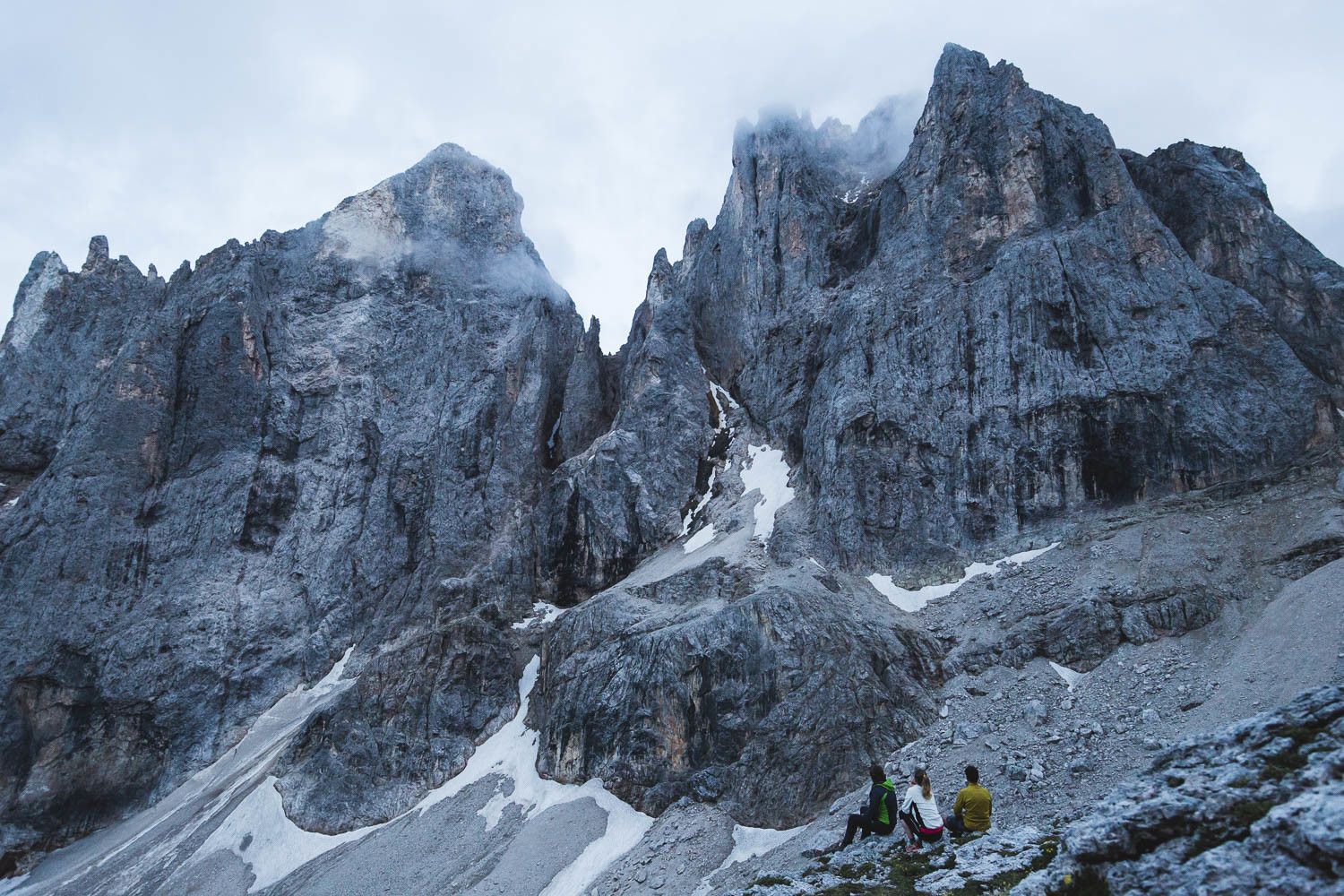
The “Crode Rosse” (Red Rocks) as they are popularly called for their reddish color, constitute an important outcrop of the Werfen Formation located at the foot of Cimon della Pala, beneath the green pastures of Pala Monda. It is a densely stratified formation, formed in a shallow-water environment, but with highly variable water levels. This influenced the type of sedimentation, explaining the great variability among these rocks: we find limestone, sandstone, as well as dolomites and siltstones. The color is also highly variable: ranging not only from brownish to red, but also from gray to greenish. Between the Werfen Formation and the underlying Bellerophon Formation, there exists an important stratigraphic boundary, marking the transition between the Paleozoic and Mesozoic eras. The event that separates these two geological periods is the Permian-Triassic mass extinction, which occurred 252 million years ago, where over 90% of marine species and approximately 75% of terrestrial species disappeared (including the aforementioned gastropod Bellerophon, hence absent within the Werfen Formation). It was the most devastating mass extinction ever to occur on Earth.

About 50 million years ago, the Dolomitic area undergoes slow uplift, caused by orogenic processes that began at the end of the Cretaceous period, during which the vast Tethys Sea closed, while Eurasia and Africa approached each other. The coral reefs are no longer at the bottom of the sea and are thus exposed to erosive processes, especially atmospheric agents and glaciers. Due to erosion, valleys form around the Pale group, which, during the glacial periods (at least 4 in the last million years), were covered by thick glaciers. During the last glaciation, the Pale Plateau hosted a large ice cap, from which numerous glacial tongues branched out into the surrounding valleys. The slow movement of the glacier downhill caused friction with the underlying rocks, further excavating the surrounding valleys (Valle delle Comelle, Val Canali, Val Pradidali, Val Cismon, Val Venegiota, Valle di Angheraz).
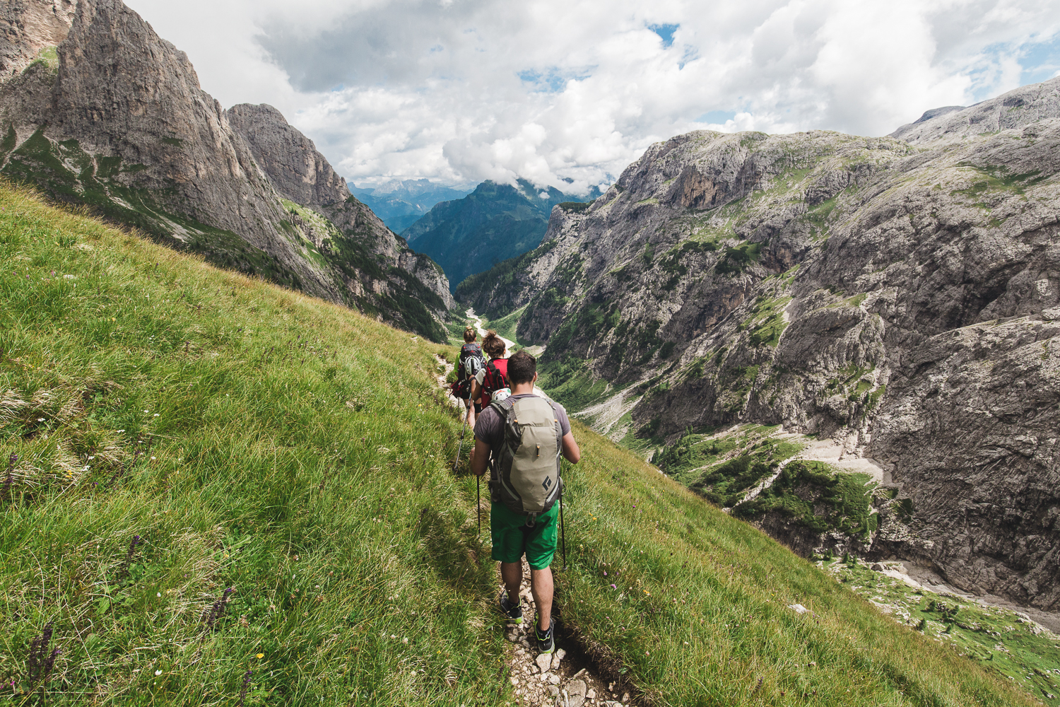
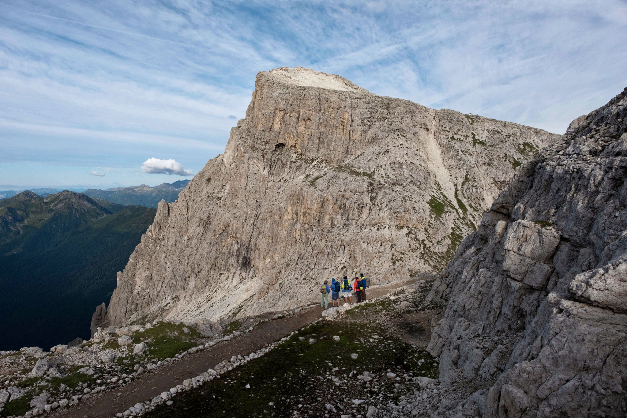
The Pale di San Martino Plateau, the largest in all the Dolomites, derives from a large carbonate reef originated in the Ladinian period (237-228 million years ago), through the sedimentation of the skeletons of organisms such as corals, calcareous algae, and sponges. From the top of Croda Granda, it is possible to admire the eastern slope of the plateau, which coincides with the cliff that delimited the ancient Ladinian coral reef. On the right, the clinostratifications resulting from the lateral growth of the reef (progradation) are evident. Imagine that the surface of the plateau coincided with the surface of the reef and was covered by a shallow sea that allowed organisms to live, while the edge of the plateau was a cliff that descended towards deep marine basins hundreds of meters below. Also fascinating is the morphological contrast between the surface of the plateau and the rugged skyline of the northern Pale range, which emerges in the background.

In the Pale di San Martino, we do not find geological formations succeeding the Ladinian period, as it occurs in other parts of the Dolomites. However, near the Rifugio Rosetta, one can observe an example of stratified dolomites that originated after the Sciliar formation. On the surface of the ancient coral reef of the Pale, there existed an internal lagoon where the deposition of these rocks took place. Today, they appear as a densely stratified bank of dolomite, with a whitish or light yellowish color. These rocks, formerly known as the “Dolomia della Rosetta” (Rosetta Dolomite), are characterized by densely laminated layers, predominantly micritic. Additionally, they formed through a process of “syngenetic dolomitization,” meaning that the transformation of limestone into dolomite occurred simultaneously with sediment accumulation. Recently, geologists have abandoned the term “Dolomia della Rosetta” and prefer to classify these rocks as a local member of the Dolomia Cassiana.
Privacy Settings
This website uses cookies to improve your experience while you navigate through the website.
View the Cookie Policy View the Personal Data Policy
Google Fonts is a service used to display font styles operated by Google Ireland Limited and serves to integrate such content into its pages.
Place of processing: Ireland - Privacy Policy
Google Analytics is a web analytics service provided by Google Ireland Limited ("Google"). Google uses the collected personal data to track and examine the usage of this website, compile reports on its activities, and share them with other Google services. Google may use your personal data to contextualize and personalize the ads of its advertising network. This integration of Google Analytics anonymizes your IP address. The data sent is collected for the purposes of personalizing the experience and statistical tracking. You can find more information on the "More information on Google's handling of personal information" page.
Place of processing: Ireland - Privacy Policy
Additional consents:
Gravatar is an image visualisation service provided by Automattic Inc. that allows this Website to incorporate content of this kind on its pages.
Place of processing: United States - Privacy Policy
Azienda per il Turismo San Martino di Castrozza, Primiero e Vanoi
+39 0439 768867
booking@sanmartino.com
Azienda per il Turismo San Martino di Castrozza, Primiero e Vanoi
+39 0439 768867
booking@sanmartino.com
Tourist office San Martino di Castrozza, Primiero and Vanoi
+39 0439 768867
booking@sanmartino.com
Tourist office San Martino di Castrozza, Primiero and Vanoi
+39 0439 768867
booking@sanmartino.com